3D Mapping technology is used to support a variety of sectors stretching from design and visualisation over historical preservation to forensics. Benefits of our 3D mapping offering to our main client base can be found here:
>> Architects & Designers
>> Builders
>> Building Owners
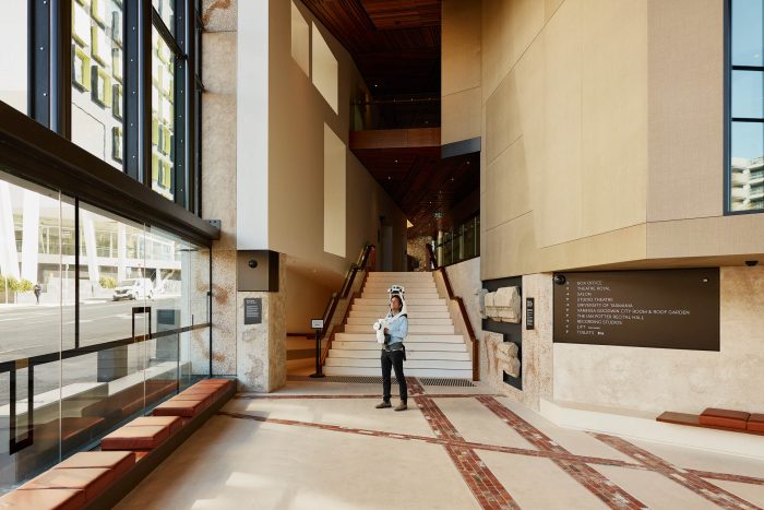
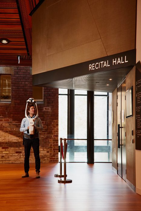
The NavVis VLX is known for its ease of use and a combination of speed and accuracy, making it an appealing choice for Gandy & Roberts to service clients across architecture, engineering and construction, as well as for facility management and real estate applications. Key advantages of this mobile scanning solution are:
- Highly efficient – The NavVis VLX’s Simultaneously Locating And Mapping (SLAM) technology is capturing everything visible while the Gandy & Roberts specialist is walking through a site.
- Low level of disruption – It’s completely mobile, so even busy environments, like hospitals or construction sites, can be mapped and scanned successfully without interruptions to the site’s operations.
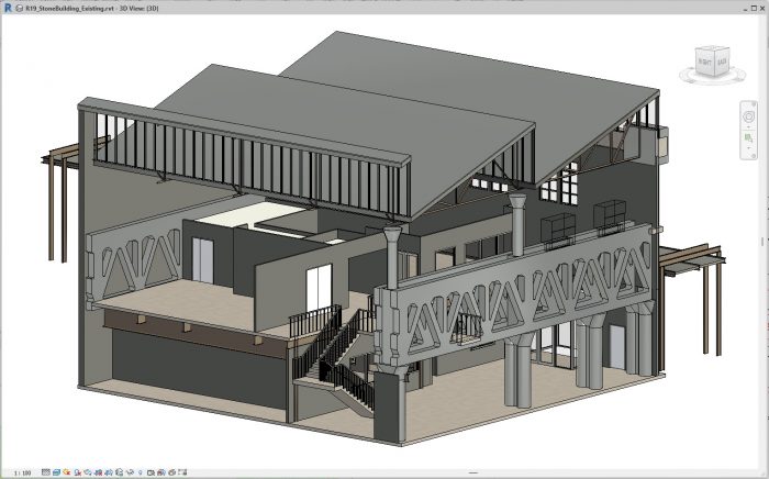
- Compatibility – The NavVis VLX is fully compatible with standard surveying processes and supports national and global coordinates for precise georegistration and alignment of datasets. The point cloud data is compatible with standard design tools.
- Cost effective – Only a team of two NavVis specialists from Gandy & Roberts are required. Previously, a job used to require spaces to be vacated and equipment to be set up, taking a week. Now, with the NavVis VLX, the scan can be done in hours, significantly reducing costs.
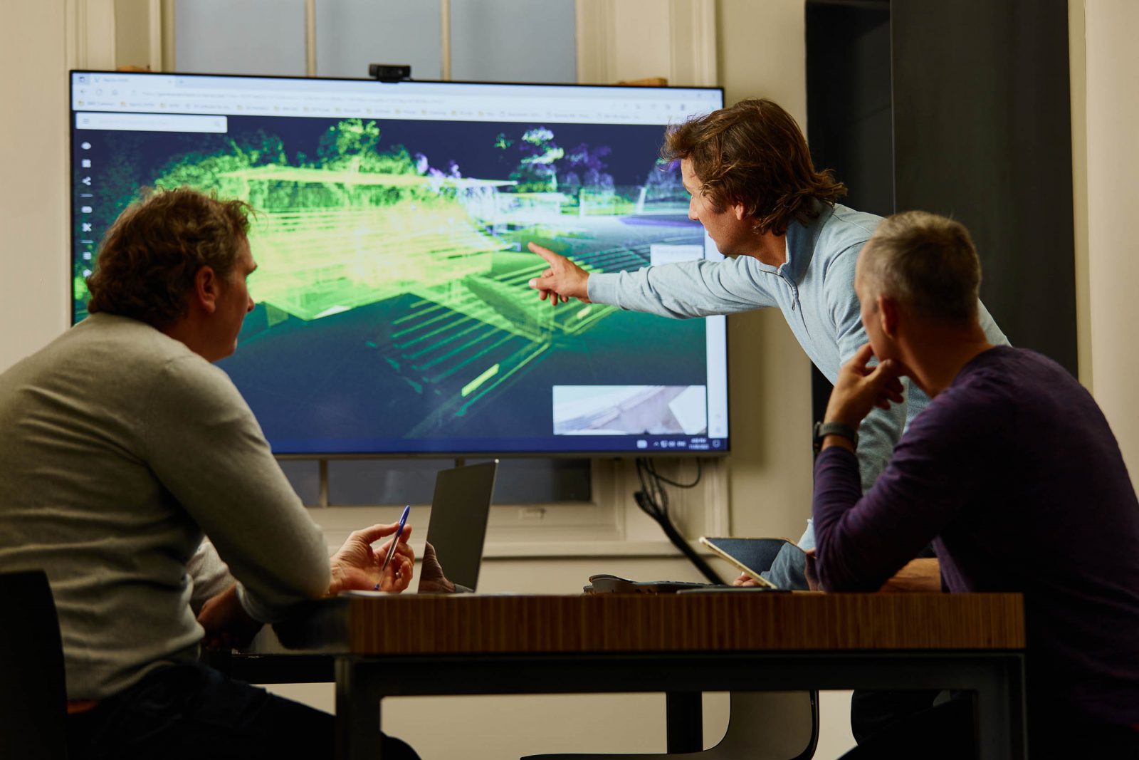
- Communicate efficiently – Accessible on a web browser for all parties involved in the project, the panoramic imagery displaying the real-world conditions of the site help users to better understand the on-site surroundings. It can identify fine details such as switches, fittings, profiles or signage, which are often hard to identify using the point cloud only.
NavVis Ivion Web Browser Overview:
Measure and markup tools:
Use Scan Data for design in Revit:
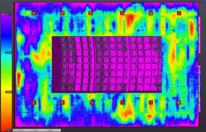
Sample Scan – Find The Platypus: